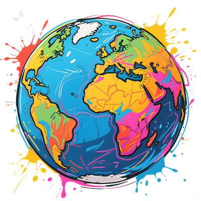
Discover an innovative way to better understand world geography with our interactive Mercator map featuring image input capabilities.
This tool allows you to visualize and compare the actual sizes of countries with ease.
Simply upload an image or point to specific regions, and see real-time adjustments that accurately reflect their true geographical proportions.
This feature helps users break free from traditional map distortions, offering a clear and realistic view of world geography.
Its user-friendly interface makes it a perfect educational resource for students and teachers, as well as geography enthusiasts eager to deepen their knowledge.
Key strengths include dynamic comparisons, precise sizing, and seamless image integration, making it an essential tool for anyone looking to enhance their understanding of global spatial relationships.
Engage with this innovative map to uncover the surprising truths behind world sizes and improve your geographic literacy today.